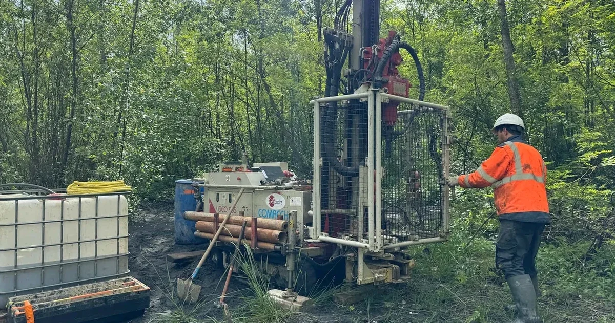
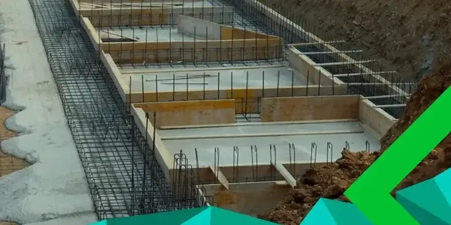
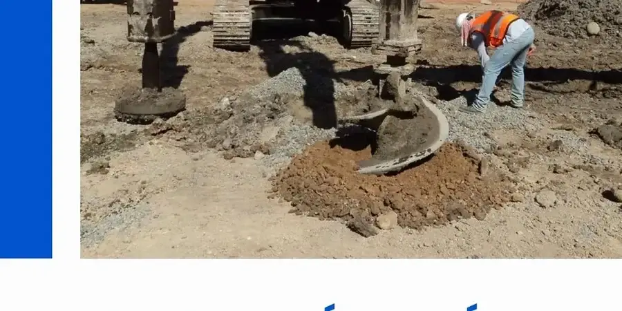
The city of Laredo sits on the Rio Grande floodplain, over quaternary alluvium composed of interbedded clays, silts and sands that have shaped the behavior of every structure from the historic San Agustín district to the new industrial parks along Loop 20. The average depth to groundwater varies between 15 and 40 feet depending on the terrace level, and the presence of high-plasticity clays of the Laredo Formation requires a detailed soil mechanics study to anticipate differential settlements, loss of bearing capacity during wet seasons, and long-term volume changes. With summer temperatures exceeding 105°F, the near-surface desiccation cracks can extend more than 6 feet, altering the infiltration patterns that our team models in every project. When the stratigraphy includes clean sand lenses, we complement the characterization with an SPT drilling campaign to obtain N-values at depth, essential for foundations on the north bank terraces.
In Laredo, the biggest risk is not the overload, it is the seasonal volume change of the clay; a soil mechanics study that ignores the suction profile is a foundation with an expiration date.