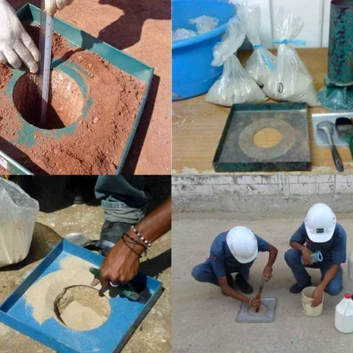
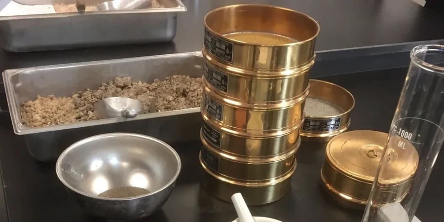
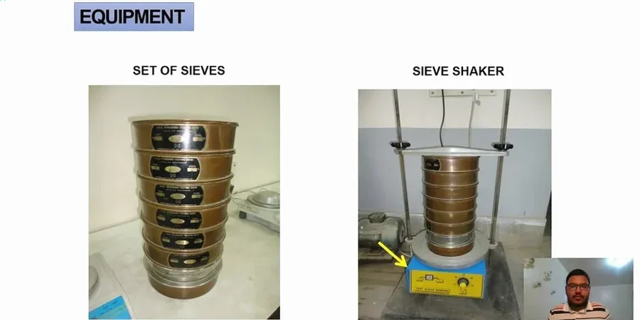
Laredo sits on the Rio Grande floodplain where alluvial deposits dominate the subsurface. The soil profile shifts from silty clays to fine sands within a few feet. A standard sieve alone misses the silt and clay fraction that controls drainage and swell potential. We run the full grain size analysis with hydrometer on every sample from this region. The Atterberg limits testing often follows to confirm plasticity of the fines, especially in the Montaña neighborhood where fat clays appear at shallow depth. Laredo's semiarid climate with 20 inches of annual rain creates cyclic wetting and drying that activates the fines content. Without the hydrometer data, the USCS classification is incomplete. The lab runs ASTM D422 and ASTM D2487 protocols daily. We report percent gravel, sand, silt, and clay plus the coefficient of uniformity. These numbers feed directly into foundation design for the expanding industrial parks along I-35 and the residential subdivisions pushing north toward the Webb County line.
Missing the hydrometer on a Laredo silty sand can misclassify the soil by two USCS groups and underestimate settlement by 30 percent.