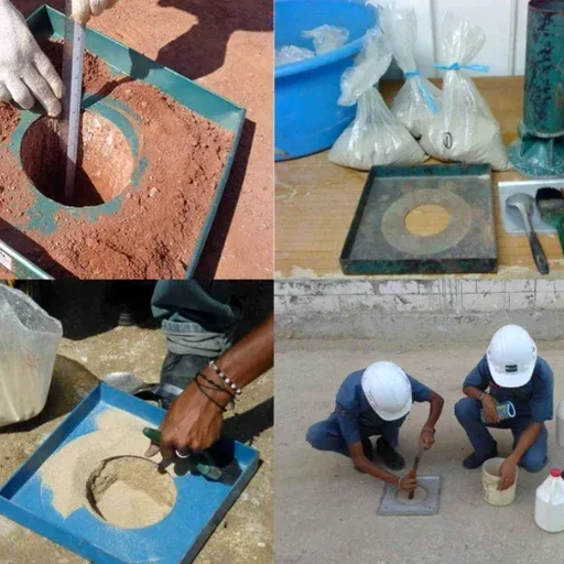
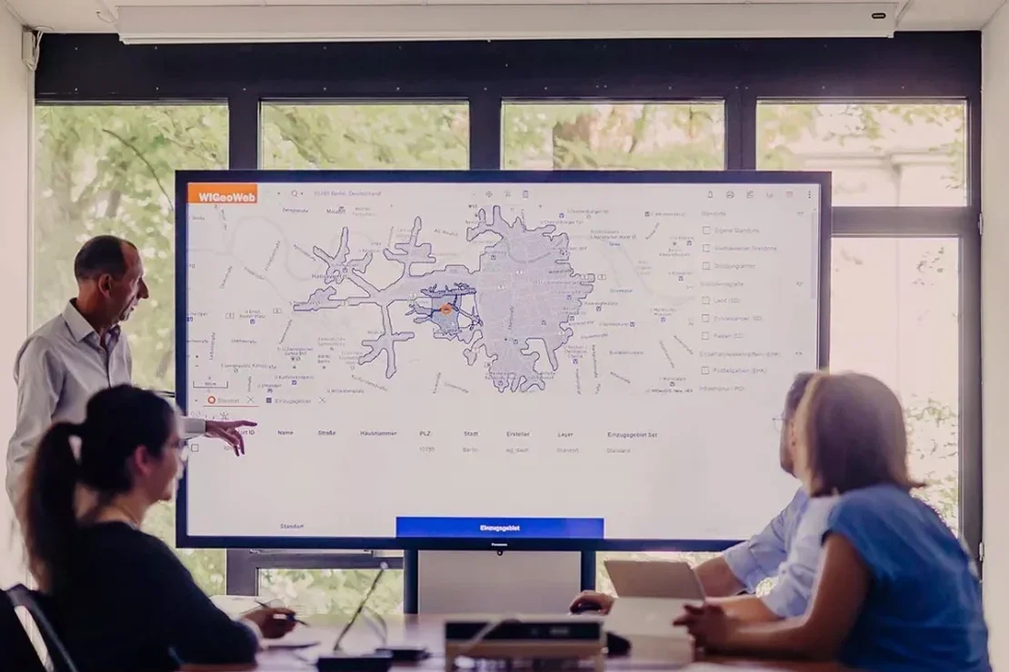
ASCE 7-22 and the International Building Code require seismic ground motion parameters for every structural design. In Laredo, where the Eagle Ford Shale transitions into the Carrizo-Wilcox aquifer recharge zone, site amplification can shift drastically within 300 feet. We do not run generic USGS hazard curves and call it a day. Our team drills, logs, and measures shear-wave velocity profiles—then translates that data into a microzonation map calibrated to the 2011 Mineral Wells earthquake attenuation pattern, which remains a reference for stable continental region seismicity affecting the Texas-Mexico border corridor. For sites near the Rio Grande, we often pair field geophysics with a CPT test to capture continuous stiffness data, especially where water table fluctuation softens near-surface silts. This is practical microzonation: not academic research, but a defensible document your EOR can submit to the City of Laredo Building Development Services Department.
Site class can change within a city block in Laredo—we map it with borehole data, not interpolation.