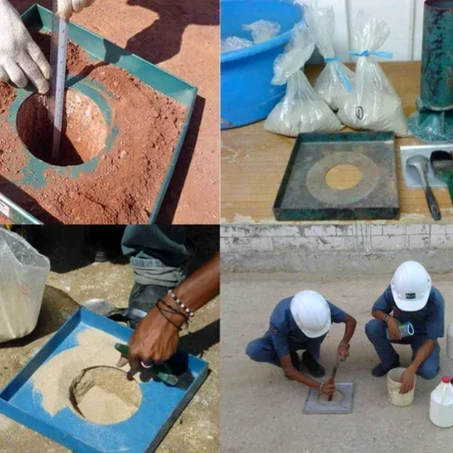
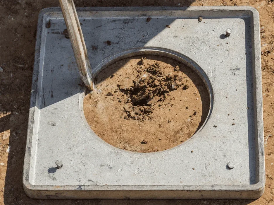
The soil story changes fast when you cross from the Heights area in north Laredo down toward the river. Up on the caliche cap of the Laredo Formation, you get stiff, cemented ground that rarely raises liquefaction flags. But move south of Saunders Avenue into the Holocene alluvium of the Rio Grande floodplain—the loose silty sand that underlies much of downtown and the fast-growing Mines Road corridor—and the picture flips. We have pulled saturated samples at 15 feet that lost nearly all strength under cyclic loading in our triaxial cell. Before you pour a slab south of I-35, you need a seismic microzonation to map where the loose deposits start. Then a site-specific soil liquefaction analysis ties those maps to your column grid and groundwater readings. Laredo sits about 150 miles from the Gulf, and while we are not on a plate boundary, the historical seismicity from the Balcones Fault Zone and distant subduction events can produce long-period motion that triggers liquefaction in saturated granular soils. The IBC classifies much of Webb County as Seismic Design Category B or C depending on the site class, so skipping the analysis is not a code-compliance gray area—it is a liability that lenders and structural engineers will flag during peer review.
Liquefaction is not just a California problem. Loose saturated alluvium along the Rio Grande can lose bearing in seconds under the right ground motion.