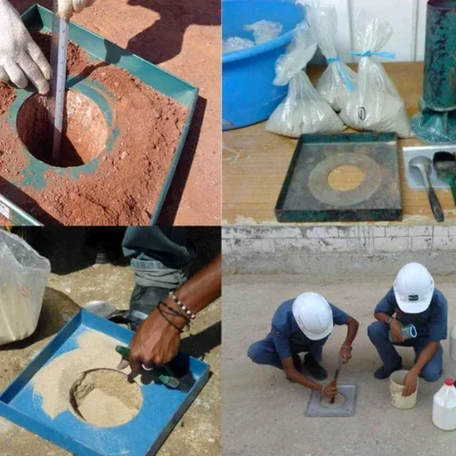
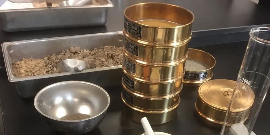
Laredo sits at roughly 438 feet above sea level on the northern bank of the Rio Grande, but the real story for underground construction lies directly beneath the surface. The city is built on Quaternary alluvium—interbedded clays, silts, and sands deposited by the river system over millennia. When a tunnel alignment intersects these soft, water-bearing layers, standard assumptions about ground behavior can fail quickly. We run the full grain-size analysis and Atterberg limits suite upfront to classify the formation precisely, because the difference between a low-plasticity silt and a fat clay determines whether you need face reinforcement or can advance with an open shield. Our field teams have logged hundreds of boreholes across Webb County and know the local stratigraphy—the Laredo Formation clays, the persistent sand lenses, and the groundwater table that often sits within 10 to 15 feet of the surface.
In Laredo’s alluvial deposits, a single missed sand lens at tunnel invert can turn a stable heading into a flowing ground condition in minutes.